Miribel hike

Description
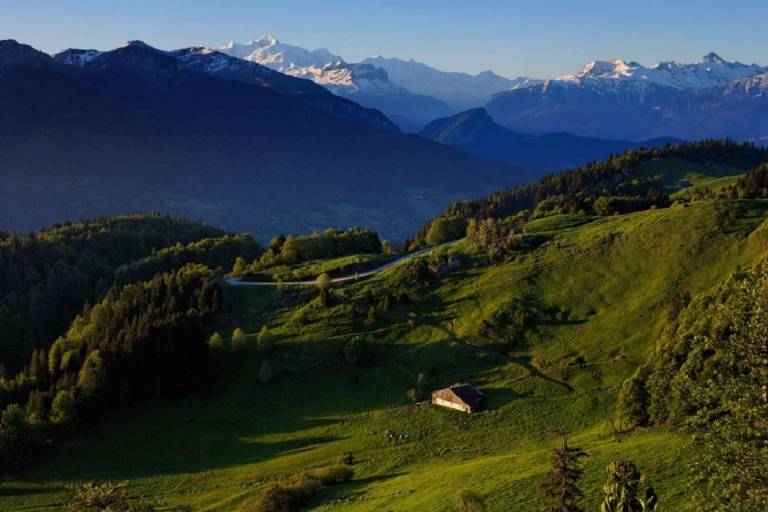
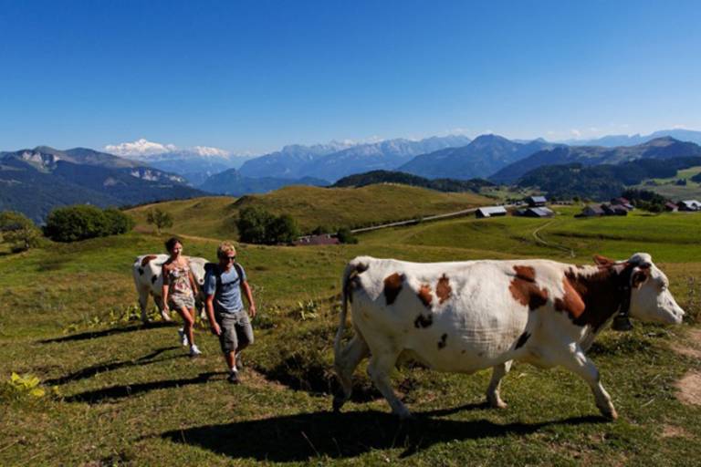
Hiking to the 1581m peak of the Pointe de Miribel takees you into the heart of the Valley's mountain pastures. A relatively level path with 360° views from Mont Blanc to Lac Léman and views of the Vallée Verte.
Duration: 2.5 hours
Difference in altitude: +150m
Altitude at start point: 1200m
Altitude at end point: 1581m
Map reference: IGN TOP 25 - 3429 ET map
Signage: PDIPR signs
Difficulty: easy
In toponymy, Miribel means "Beautiful view". In addition to the stunning views, this trail also has fascinating religious heritage. In 1774, Pointe de Miribel received an oak crucifix and neighbouring parishes came on pilgrimages here. The crucifix was knocked down during the French Revolution. In 1808, following a vow made during the French invasion of Russia, Joseph-Marie Félisaz from Villard sculpted 17 columns from blocks of red marble brought to him on site. Each column symbolising the Miribel cavalry, is topped by an iron crucifix. There’s a statue of the Virgin Mary at the top. Many pilgrims still travel this path during ceremonies.
From Glappaz car park take the path up to Col du Creux. Then walk up to the Auberge de la Combe for a break. Walk up towards the hamlets of Frangles and Ajon. There’s a path to Pointe de Miribel on your right when you come to the first chalet in Ajon. Go back down the northern ridge to the Martinet meadow then the hamlet of Replan. The woodland path then takes you to the hamlets of Ervines and Combasseran before taking you back to the car park.