Pointe de Miribel - from Villard

Description
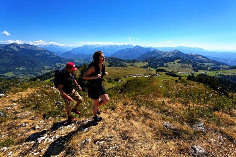
A hiking trail snaking through forests and meadows. The effort you put into your uphill walk is rewarded with views of the Chablais peaks and Lac Léman.
Altitude at start point: 831m
Altitude at end point: 1581m
Difficulty: sporty
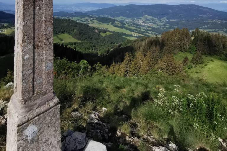
In toponymy, Miribel means "Beautiful view". In addition to the stunning views, this trail also has fascinating religious heritage. In 1774, Pointe de Miribel received an oak crucifix and neighbouring parishes came on pilgrimages here. The crucifix was knocked down during the French Revolution. In 1808, following a vow made during the French invasion of Russia, Joseph-Marie Félisaz from Villard sculpted 17 columns from blocks of red marble brought to him on site. Each column symbolising the Miribel cavalry, is topped by an iron crucifix. There’s a statue of the Virgin Mary at the top. Many pilgrims still travel this path during ceremonies.
This hike begins on Villard’s town roads and country lanes via the hamlets of Bourgeau, Les Crozats and Les Granges. At the TV transmitter, take the forest path to the Replan chalets. Cross the Martinet meadows then follow the path around Tête des Cudres and walk to the Miribel ridge. It takes 20 minutes to reach the top. Go back fown the south side along the cavalry then the Ajon chalets and the hamlets of Fully and Bourgeau.